 |
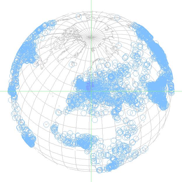
Our vector maps system is based on a calculated compression of
the planet's surface in 57 nm² large parts. Each of these parts
can be resolved to 16m²/50feet².
<
Pixel-Map Content
>
We start now first with a 360° in 16 steps around the Pole axis.
Then, we make a salto backwards around the Equatorial axis. Now
we are again in Western Europe and zoom ourselves gradually up
to 260 km radius to Germany with Munich as map center, to show
then the Pixel-Map for this scaling. Followed by some data
overlays, finally we end up with our office as map center on the
6km-radius Pixel-Map. Then follow a few different zoom levels and
data views, however, these are better to be looked with our
Map-Demo with
the recorded traffic situation.
Close this Tab to return !
|